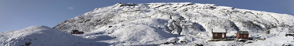
The characteristic feature of nature in the the upper part of the Eksingedalen valley (so fare only in Norwegian) is the coveted subtlety with which the mountain places obstacles in the way of human settlement.
(Theodor Caspari – 1919)
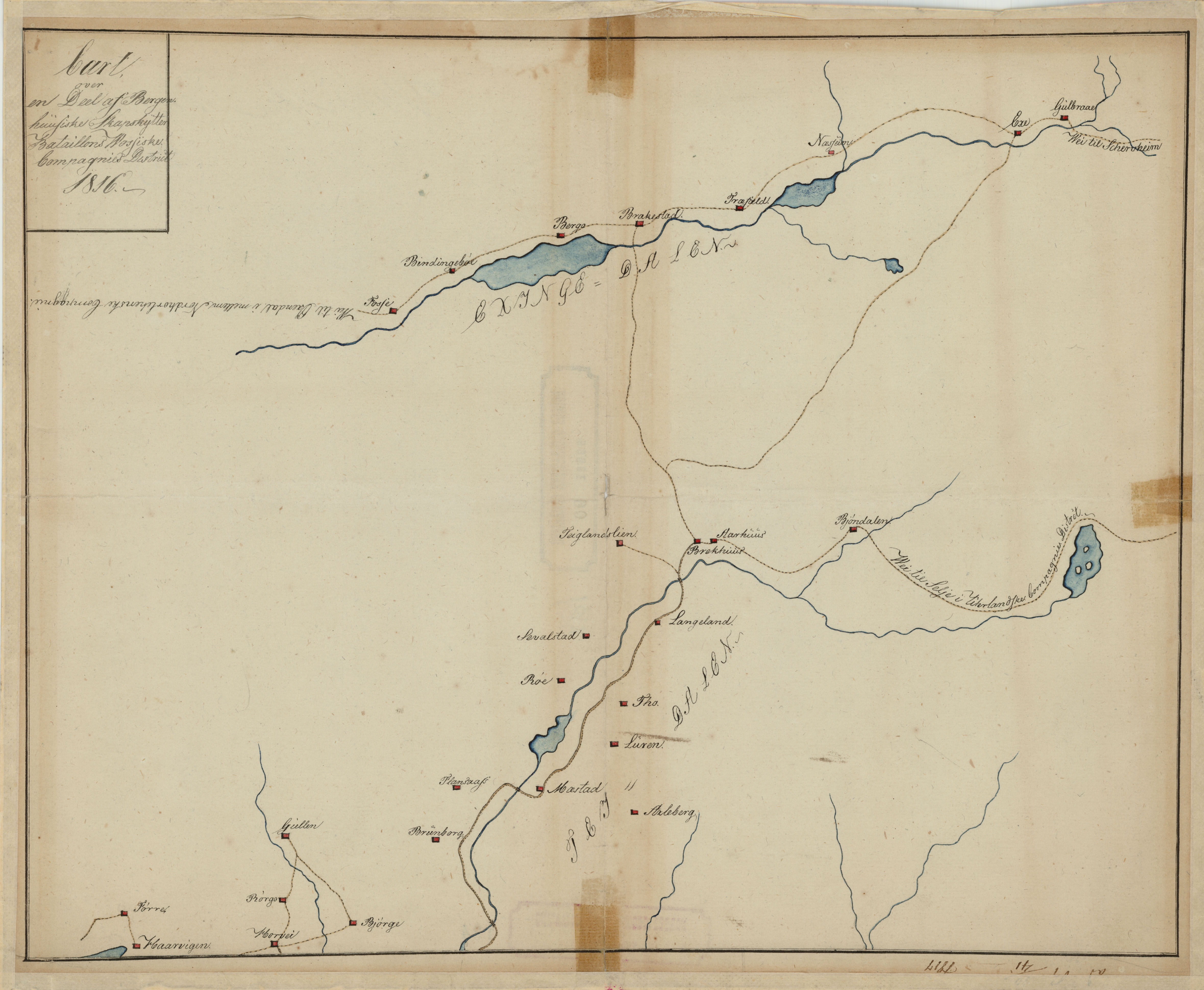
Here a map from 1816 showing the upper part of the valley Exingedalen, belonging to the military district the “Wossiske Compagnie District af Bergenhusiske Skarpskytterbataljon” under “Norske Jægerkorps”. In this map there are errors on the location of the farms Naesheim, Brakestad and Traefald. Naesheim on the map = Traefald, Traefald on the map = Brakestad, and Brakestad on the map = Naesheim:
Map from norgeskart.no. Push the “expand button” (down right – up right on a phone) to open fullscreen version, you can there also select areal photo, move around, zoome, etc.
If fullpage do not work (on the mobile etc.) use this link.
Nese Media fantastic 360 from all the farms in the valley:
If fullpage do not work (on the mobile etc.) use this link.
Trefall stoff
Google streetviewStatens Vegvesen’s Trefallstranda snow avalanche monitoring camera. Could be out of order for the season!
Evening drive passing Trefall (all of Eksingedalen is there, to see it rewind to the start):